DESIGN & GIS Professional Portfolio
Web Applications and Presentations
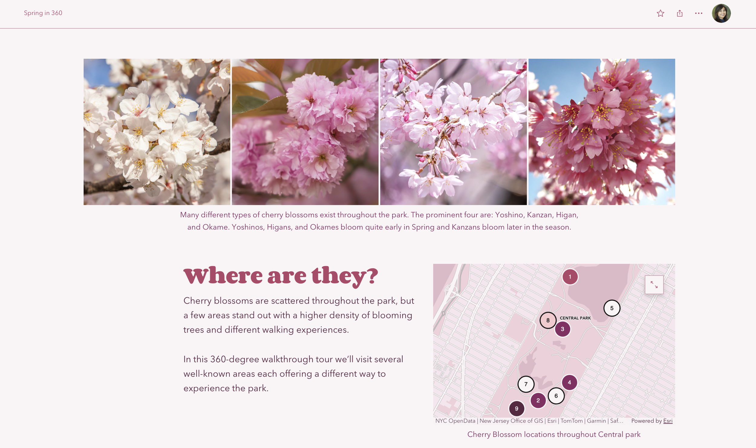
PROJECT LEAD FOR SPRING IN 360 STORY
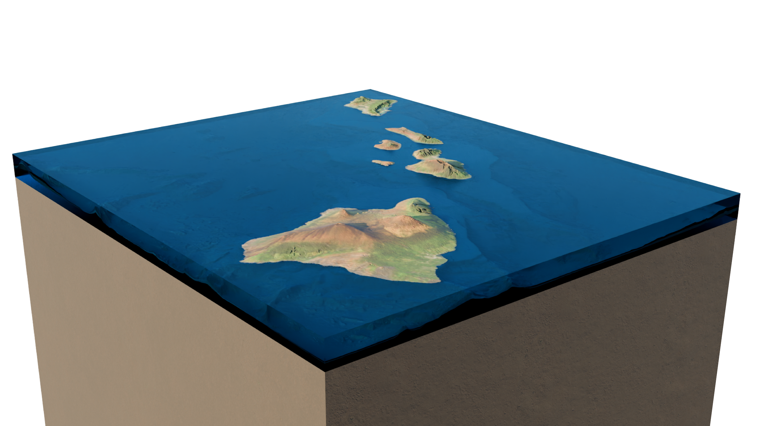
HAWAIIAN ISLANDS 3D MODEL
Click to learn more
HAWAIIAN ISLANDS 3D MODEL Click to learn more
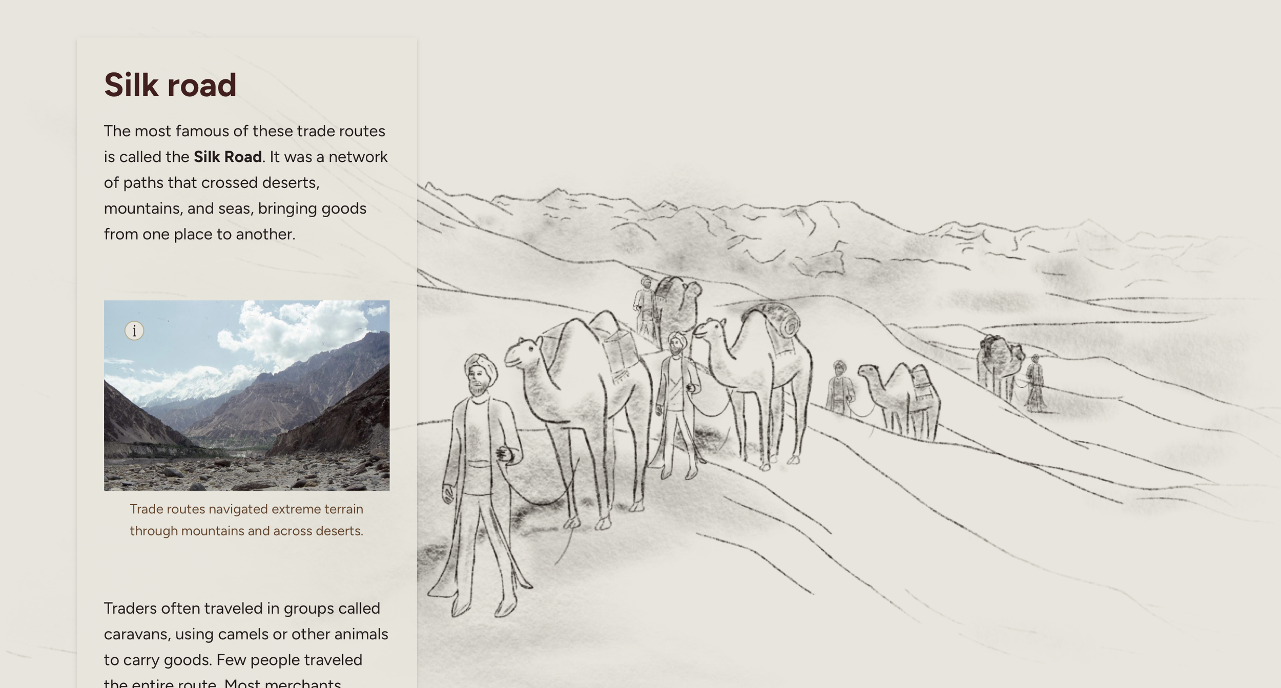
LEAD DESIGNER FOR SILK ROAD STORY
Global Business Development All hands meeting: Notable Esri Customer Presentation Slide
Global Business Development All hands meeting: Top Selling Products Presentation Slide

LEAD DESIGNER FOR A WORLD OF WASTE STORY
Storymap Presentation for Earth Day 2019
Global Business Development Digital Sales Presentation Slide
CARTOGRAPHY and Design

The Battle of Tarawa was the first American offensive in the critical central Pacific region during World War 2. This map shows the United States Marine advancements towards the Japanese on Betio Island.

infographic & maps for electric charging story

StoryMap on step by step LiDAR Workflows in ArcGIS Pro


DESIGNS AND MAPS FEATURED ON NAACP.com

brand guide page for fonts for a website

Infographic for Earth Day 2020 QuickCapture App
Digital Sales Guide Emblem
Global Business Development All hands meeting: Partner Portal Presentation Slide
The Malachite Kingfisher and Grey Heron habitat analysis in the Okavango Delta
Stereographic Projection of the best known historical locations and magnitudes for historic hurricanes and tropical storms.

Lego figurine of Dr. Dawn Wright

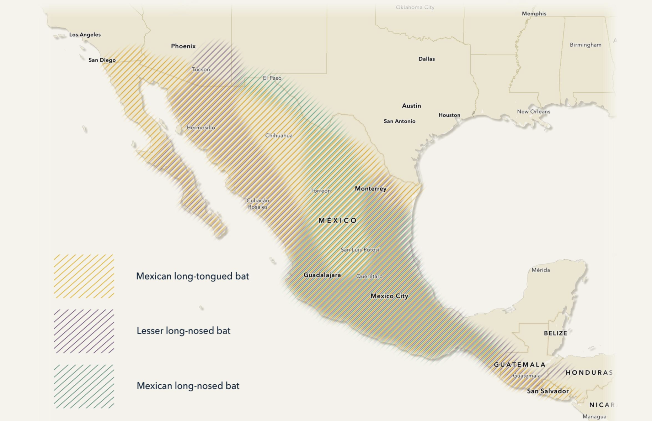
LEAD DESIGNER FOR BATS MIGRATION STORY

thinking huts social media post

Timeline highlighting historic women in kenya


beaver infographic
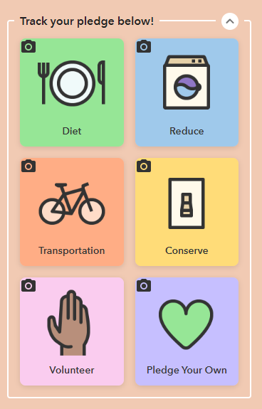
Earth Day 2020 Pledges Dashboard and QuickCapture Application User Interface